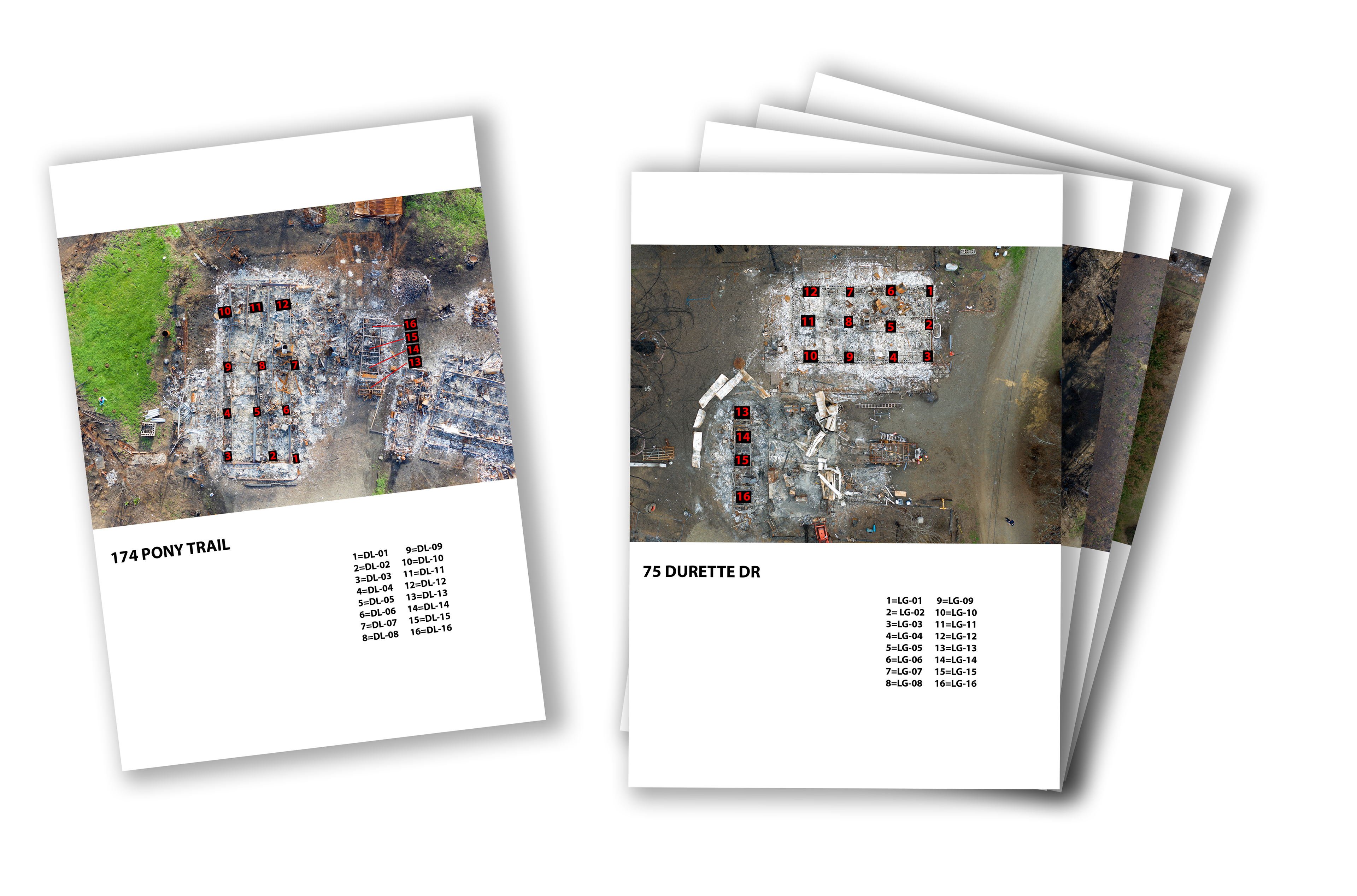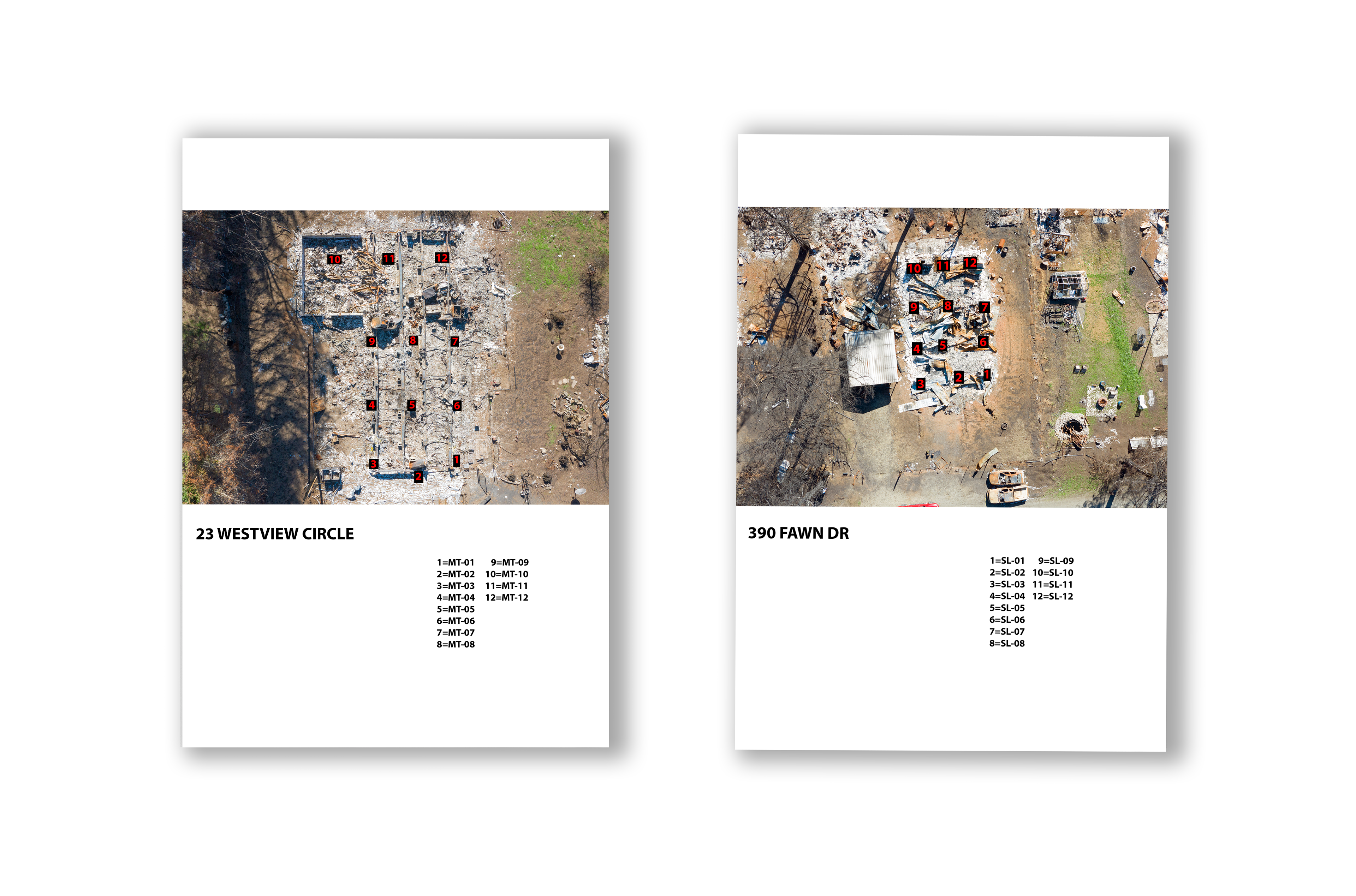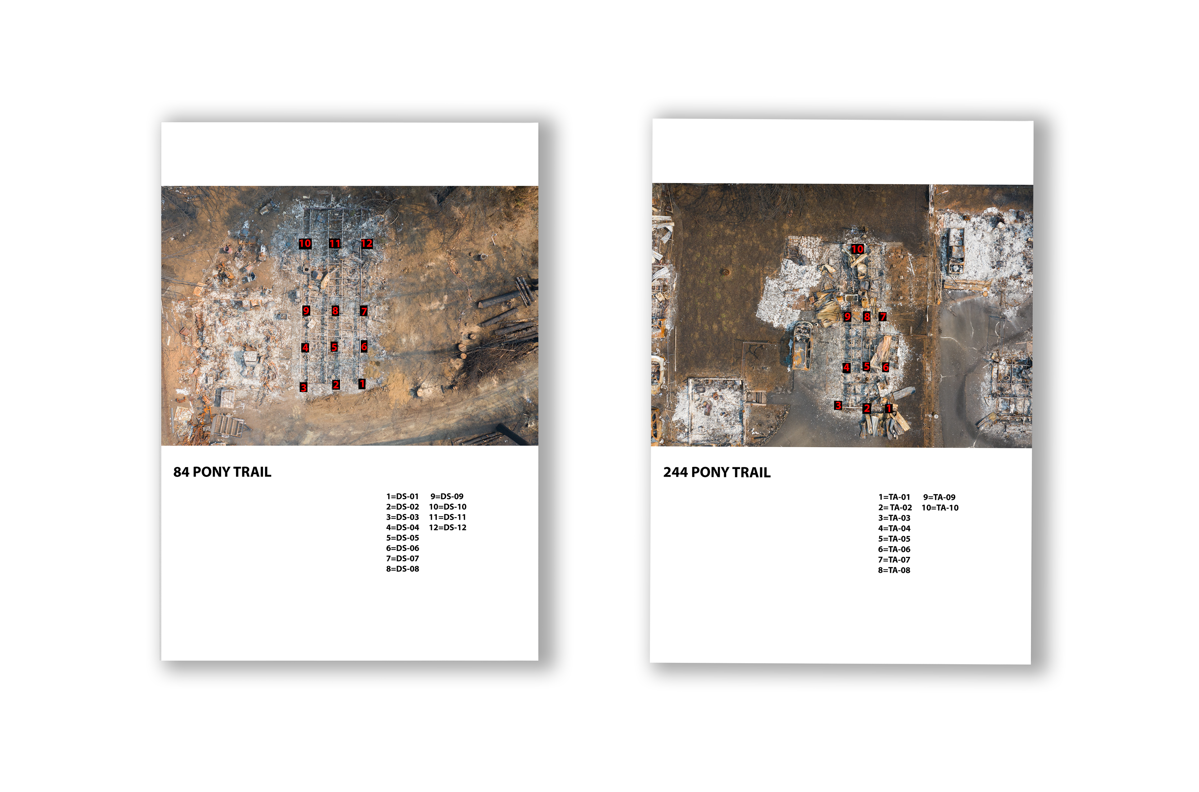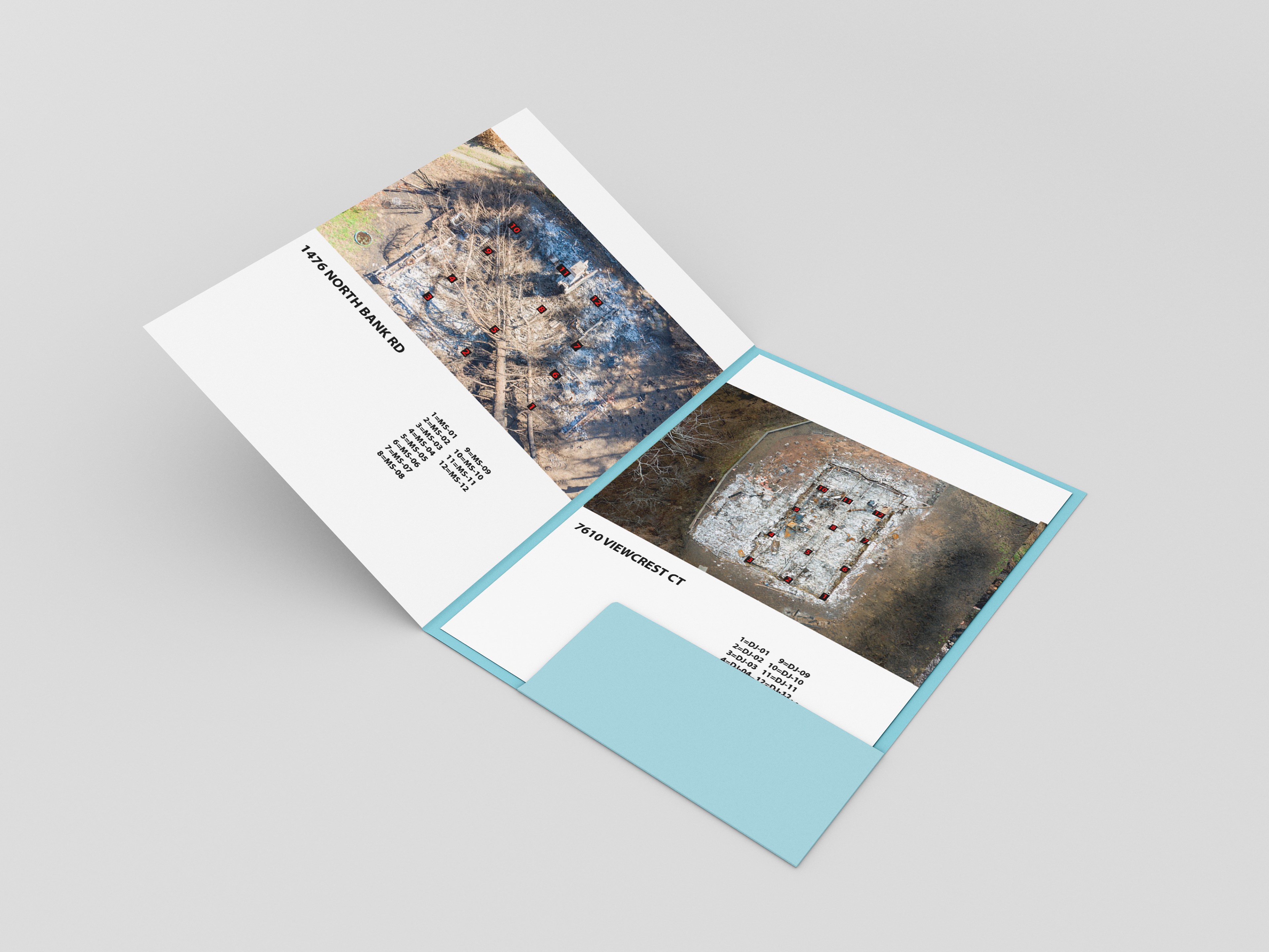
In the wake of the 2020 wildfires that swept the Northwest, various asbestos tests were requested for several properties in the Lincoln City, Oregon area. The results were then sent back to the State of Oregon. Designed to serve as a legible, easily decipherable mapping system, each page contains three identical key components: an aerial image of the property with a numerical overlay to effectively show the location and order in which each test was taken; the property address listed below; and a key showing the location number in reference to the test number and homeowner’s initials. In this work, functionality of type and color is the focus, as is essential for organization in any information design.